We had good AR-related fun at last night’s talk by Kari Pulli and Radek Grzeszczuk from Nokia Research, “Nokia Augmented Reality” hosted by SDForum. It was basically a survey of AR-related work done at Nokia in the last few years, with special emphasis on their research work in image-based recognition.
Kari presented an overview of several research projects, including:
MARA (Mobile Augmented Reality Applications) — A GPS+compass style AR prototype, also using accelerometers as part of the user interaction model. See also this Technology Review article from Nov06.
Image Space — “A user-created mirror world”, or less romantically, a social photo capture & sharing system, using GPS+compass to locate and orient photos you take and upload, and allowing you to browse others’ photos taken nearby.
Landmark-Based Pedestrian Navigation from Collections of Geotagged Photos — A bit hard to describe, best to have a scan of the research paper (pdf).
Point & Find — Mobile service that uses image-based recognition to tag and identify physical objects such as products, movie posters and buildings and provide links to relevant content and services. This is being incubated as a commercial service and is currently in public beta.

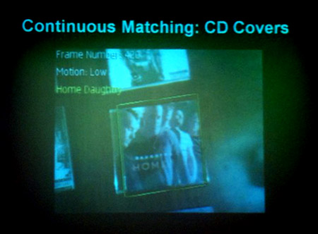
Radek did a technical dive into their approach to image-based recognition, touching on a variety of image processing techniques and algorithms for efficiently extracting the salient geometric features from a photograph, and identifying exact matching images from a database of millions of images. The algorithms were sufficiently lightweight to run well on a smartphone-class processor, although matching against large image collections obviously requires a client-server partitioning. This work seems to be an important part of NRC’s approach to mobile AR, and Radek noted that their current research includes extending the approach to 3D geometry as well as extracting features from streaming images. Capturing a comprehensive database of images of items and structures in the world is one barrier they face, and they are considering ways to use existing collections like Google’s Street View as well as urban 3D geometry datasets such as being created by Earthmine. Another area for further work is matching images that do not contain strong, consistent geometric features; the algorithms described here are not useful for faces or trees, for example.
Update: DJ Cline was there and has pictures of the event, the slides and the demo.
Related links:
SDForum Virtual Worlds SIG
SDForum Emerging Technologies SIG
Gathering of the AR tribes: ISMAR09 in Orlando
